
-30%
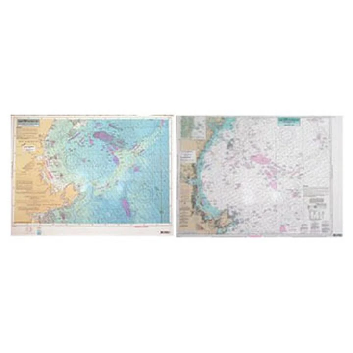
Captain Segull’s Bathymetric Cape Ann To Jeffreys Ledge Nautical Sportfishing Chart
Original price was: $19.99.$13.99Current price is: $13.99.
- Free Shipping over $25
- Multiple payment options for secure shopping with SSL
- Fast reliable delivery options
- Protecting Your Payment Information

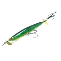
Catch more fish with Captain Segull’s Charts, designed for the serious sport fisherman.
This double-sided chart displays a detailed chart color coded by depth on one side and a regular NOAA chart on the other side. It includes GPS coordinates, wrecks, reefs, shoals, fishing areas, amenities and restrictions.
- North Shore Massachusetts
- Color contoured by depth
- Full color
- Laminated
- Waterproof
- Dimensions: 19″H x 26″W
- Made in USA
Be the first to review “Captain Segull’s Bathymetric Cape Ann To Jeffreys Ledge Nautical Sportfishing Chart”
Related products
-30%
Original price was: $132.99.$93.09Current price is: $93.09.
-30%
Original price was: $29.99.$20.99Current price is: $20.99.
-30%

Original price was: $27.99.$19.59Current price is: $19.59.
-30%
Original price was: $49.99.$34.99Current price is: $34.99.
-30%

Original price was: $14.99.$10.49Current price is: $10.49.
-30%

Original price was: $39.99.$27.99Current price is: $27.99.
-30%

Original price was: $15.99.$11.19Current price is: $11.19.
-30%

Original price was: $24.00.$16.80Current price is: $16.80.
Reviews
There are no reviews yet.